
Galaxy
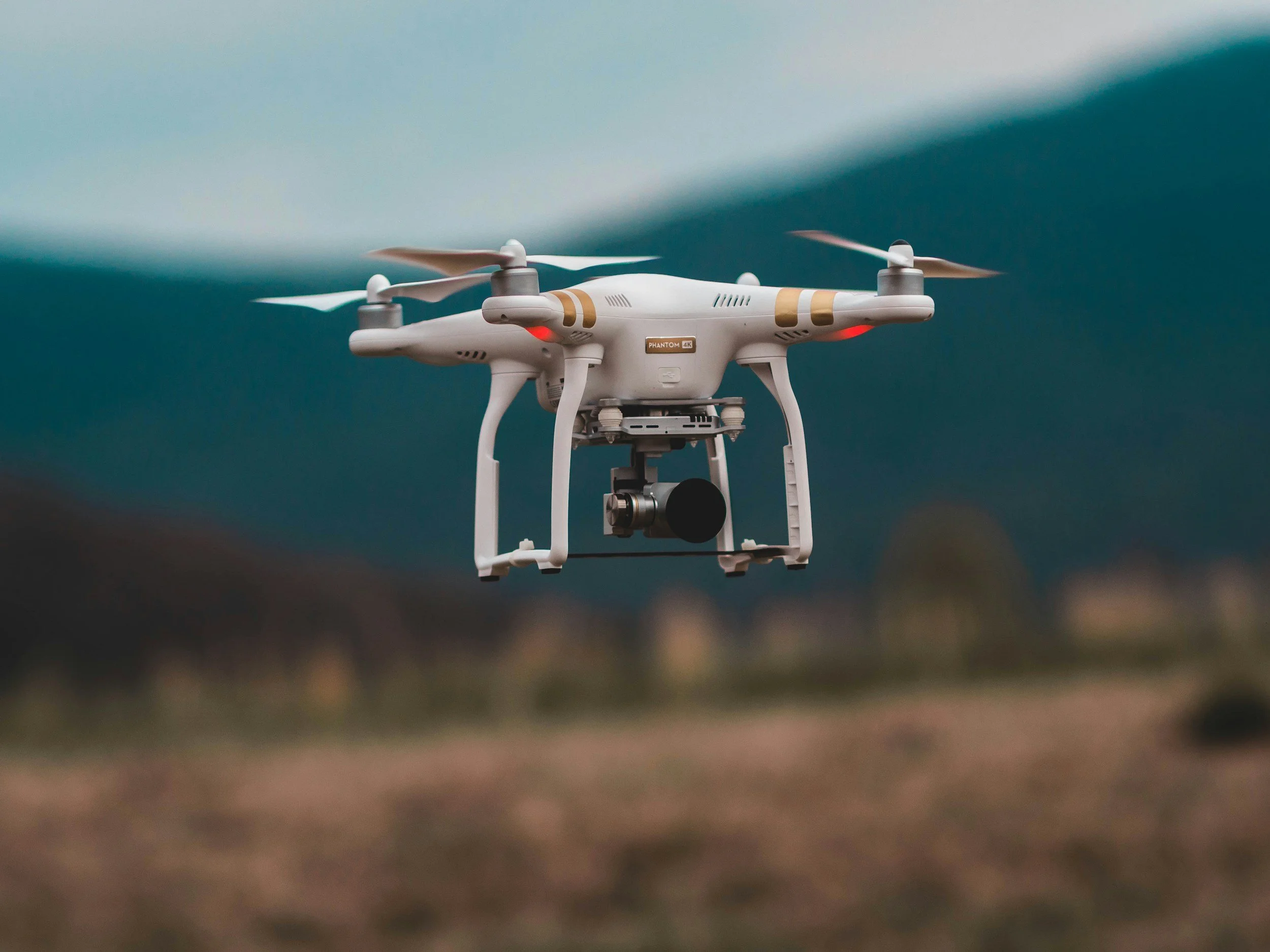
RCC utilizes drones, GIS, and 3D mapping to enhance the planning and execution of groundwater and soil investigations. Aerial imagery helps identify optimal sampling locations, access routes, and potential obstacles, reducing field time while increasing data coverage.
GIS and geospatial modeling are used to track sampling points, visualize contaminant plumes, and integrate soil, groundwater, and air quality data across the site. This allows for rapid interpretation of trends, identification of high-risk zones, and informed decision-making regarding remedial strategies. 3D visualization and mapping improve communication of complex subsurface conditions to stakeholders and regulators.
By combining high-resolution geospatial data with laboratory results, RCC delivers a comprehensive understanding of site conditions. Our approach supports regulatory reporting, remedial system design, and long-term monitoring, ensuring investigations are accurate, efficient, and defensible.