
Hamilton Township Landfill
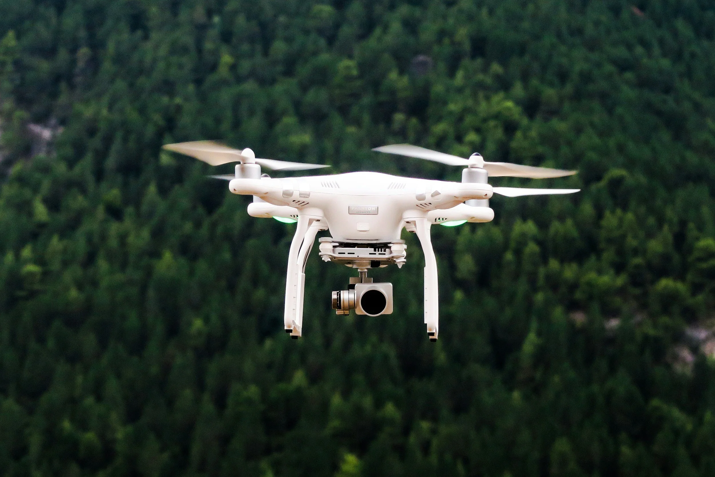
RCC leverages advanced geospatial technologies, including drone-based imaging, GIS mapping, and 3D terrain modeling, to optimize landfill remediation projects. High-resolution aerial imagery allows our team to monitor grading, cap installation, and daily material movements in real time, providing accurate and defensible data for both field operations and regulatory reporting.
Geospatial tools are used to identify areas requiring targeted remediation, track equipment movement, and evaluate progress against design plans. 3D topographic models and volumetric analyses help quantify fill material, cover layers, and excavation volumes with precision, reducing uncertainties in construction and waste management. GIS integration supports long-term environmental monitoring, closure documentation, and compliance with federal, state, and local regulatory requirements.
By combining field observations, drone imagery, and GIS data, RCC ensures that landfill remediation is executed efficiently, accurately, and in compliance with all regulatory standards, while providing stakeholders with visual tools to track project progress and outcomes.