
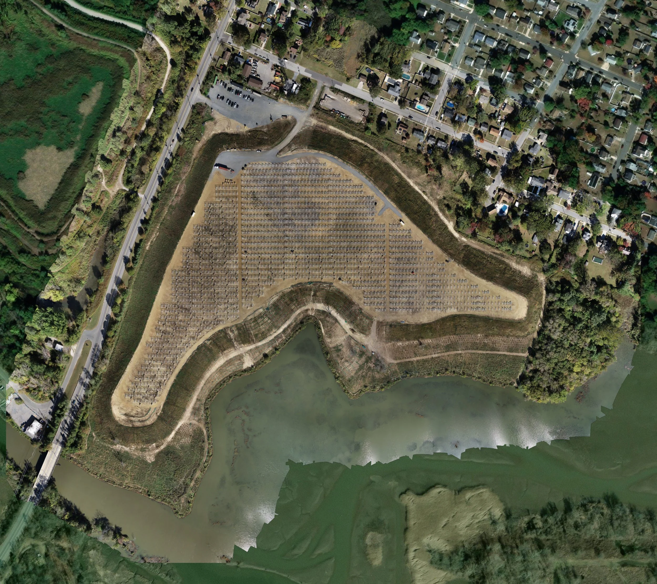
National Park Landfill
RCC applies drone surveying and geospatial analysis to streamline solar field planning, design, and construction. High-resolution aerial imagery is used to map topography, vegetation, and existing site infrastructure, enabling precise site layout for panel placement, access roads, and stormwater management features.
3D terrain models and volumetric calculations allow engineers and developers to optimize grading, estimate cut-and-fill quantities, and evaluate drainage patterns, minimizing construction conflicts and cost overruns. GIS-based planning supports rapid identification of sensitive environmental features, easements, and regulatory constraints, ensuring compliance while maximizing usable site area.
Throughout construction, drone monitoring provides up-to-date imagery to verify grading, foundation installation, and panel alignment, while geospatial records create a detailed digital history of the project for regulatory reporting, asset management, and future expansion planning. This integration of aerial data and GIS reduces risk, accelerates timelines, and improves overall project efficiency for large-scale solar developments.