
Geospatial Services
RCC integrates modern geospatial technology into environmental project planning and execution, offering drone-based surveys, detailed GIS mapping, 3D terrain modeling, and advanced spatial analysis. By delivering accurate and visually clear environmental data, we enhance reporting, streamline field decision-making, and provide clients with actionable insight into site conditions and project progress.
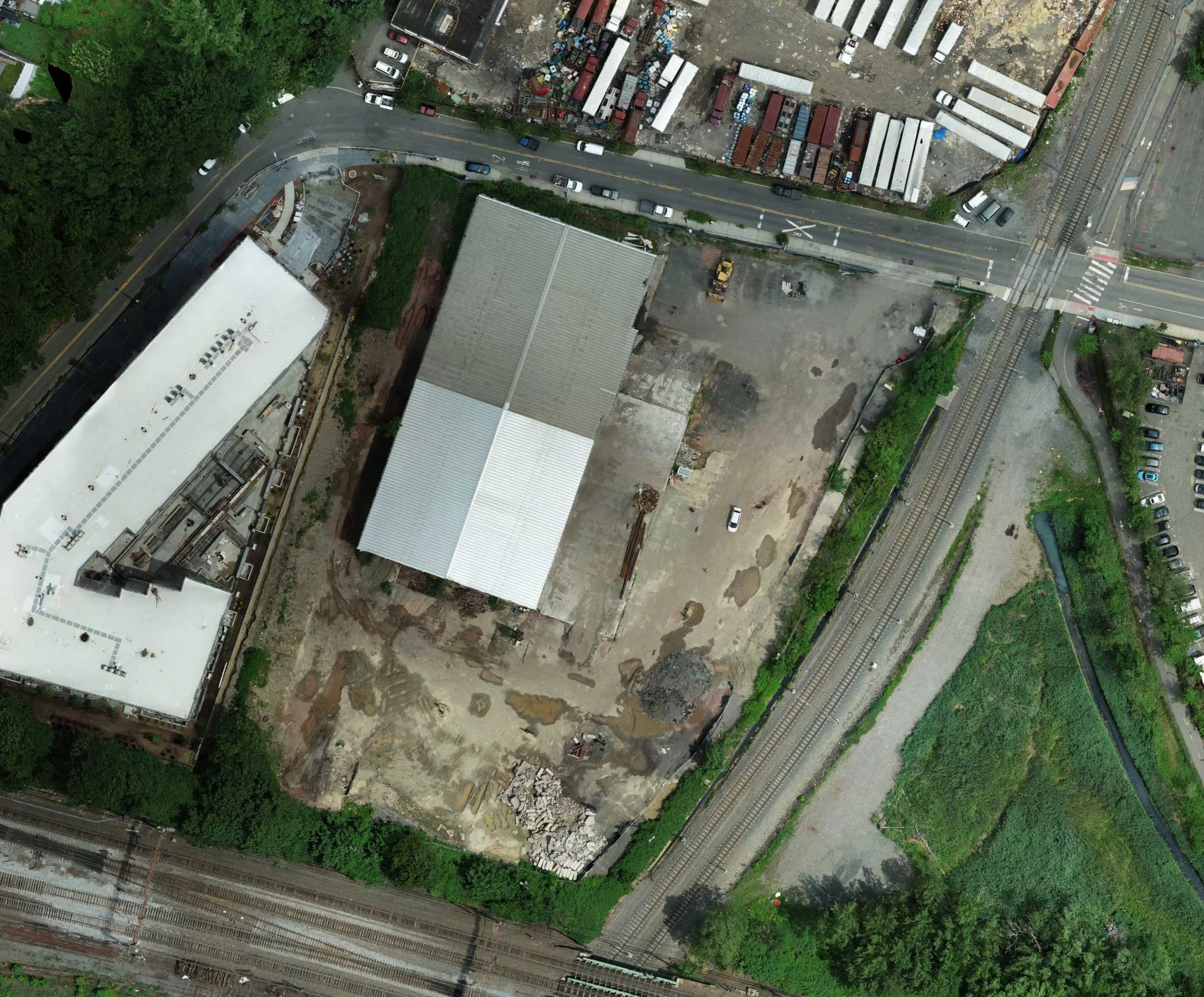
Galaxy
Drone mapping is used to identify sampling locations, access routes, and subsurface investigation areas with precision. GIS integration helps visualize contaminant trends, plume behavior, and data patterns to support more informed remediation decisions.
National Park Landfill
High-resolution aerial surveys support site layout, grading analysis, and material volume estimates, helping streamline planning and construction of large solar installations. Geospatial data improves siting efficiency and reduces design conflicts before construction begins.
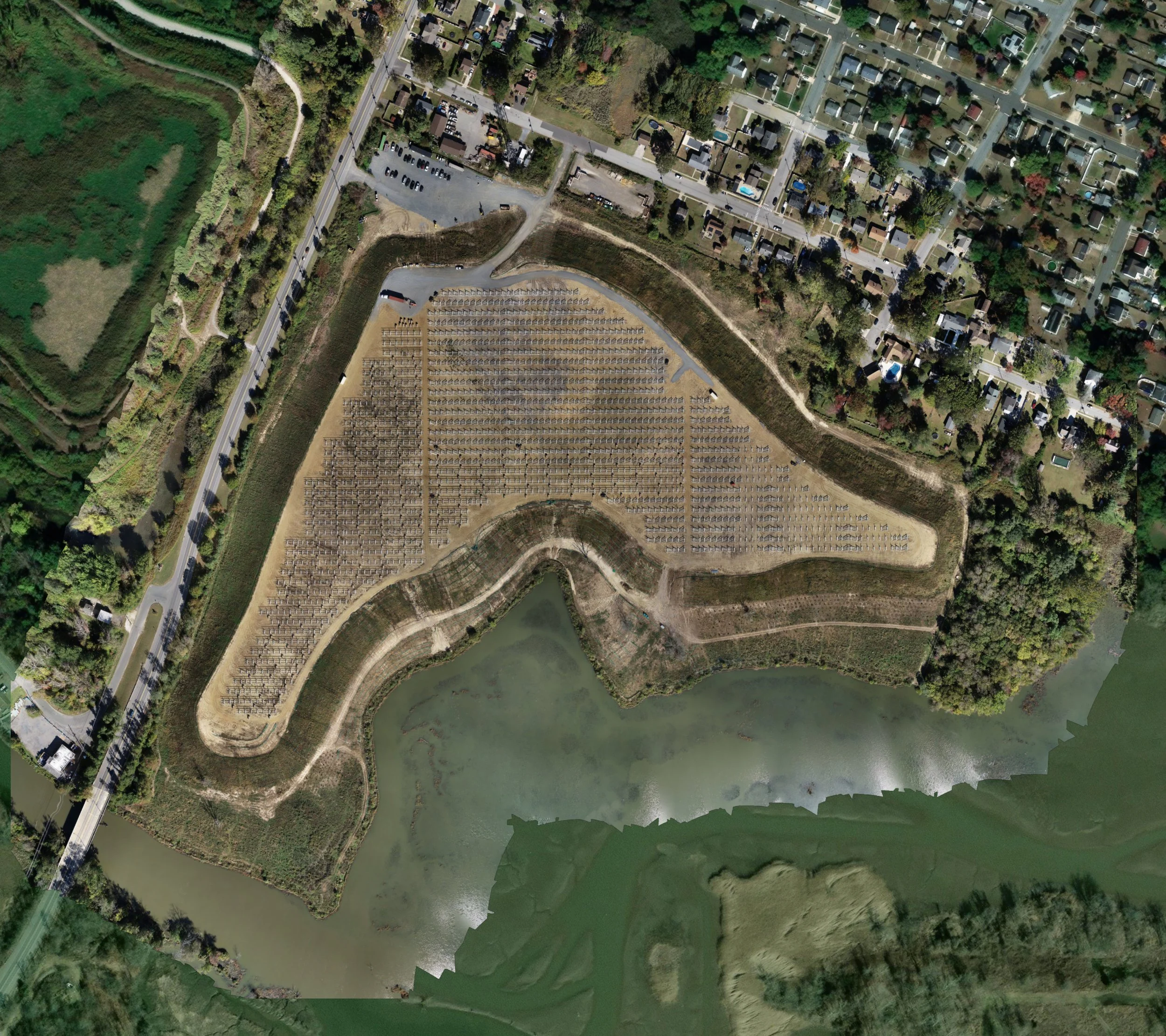
Hamilton Township Landfill
Drone imaging and GIS mapping allow RCC to track landfill grading, cap installation, and material movement in real time, improving accuracy and reducing field survey requirements. Geospatial data also assists in documenting regulatory progress and closure conditions.